LiDAR Annotation
LiDAR Annotation
Unlock the full potential of your LiDAR data with precision and accuracy from SO Development.
// Solutions
SO Development proudly offers cutting-edge LiDAR annotation services, harnessing the power of advanced technology to enhance your data precision. LiDAR, or Light Detection and Ranging, plays a pivotal role in various industries, including autonomous vehicles, robotics, and geospatial mapping. Our dedicated team at SO Development is committed to providing meticulous LiDAR annotation solutions that meet the highest industry standards.
// LiDAR Annotation Service
LiDAR annotation involves labeling and categorizing data captured by LiDAR (Light Detection and Ranging) sensors. It includes identifying and tagging objects, such as buildings, vehicles, pedestrians, and other elements in a point cloud or 3D environment generated by LiDAR scans. This annotated data is crucial for training autonomous vehicles, mapping applications, and other systems that rely on accurate and detailed spatial information.
At SO Development, our LiDAR annotation services go beyond simple annotation, offering a comprehensive solution across diverse applications. We prioritize delivering detailed and accurate annotations to meet the specific needs of your data. Whether you are immersed in the intricate challenges of autonomous vehicle development, streamlining industrial automation processes, or fine-tuning geospatial mapping projects, SO Development stands as your reliable partner for superior LiDAR annotation services..
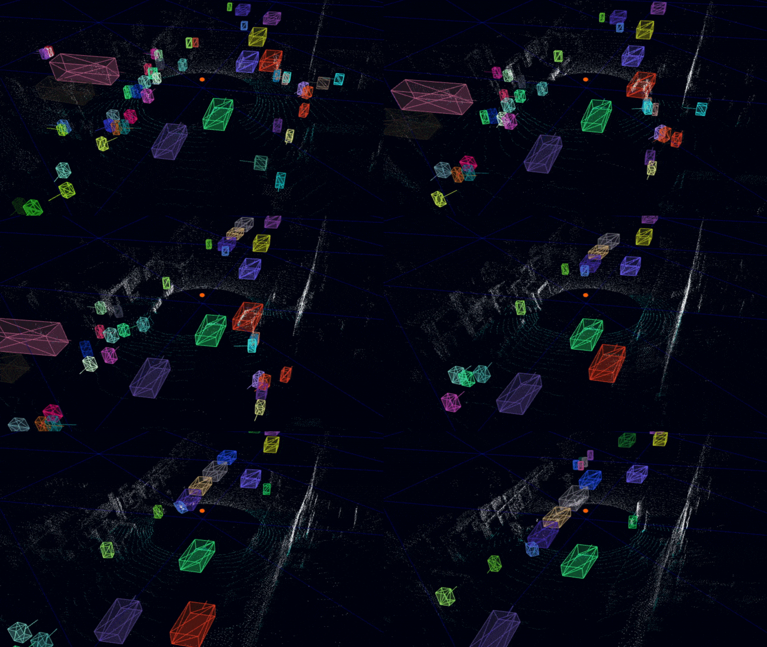
// LiDAR Annotation Techniques
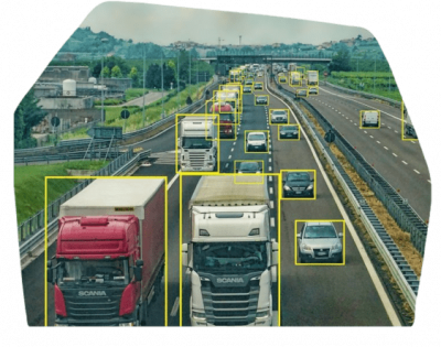
Point Cloud Segmentation
Enhance LiDAR data understanding by annotating and segmenting individual points. Our Point Cloud Segmentation service ensures accurate 3D object recognition and categorization.
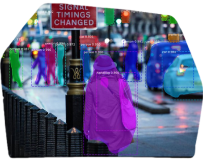
Object Detection and Classification
Annotate LiDAR data for precise object detection and classification. Our services ensure accurate identification of objects, enhancing decision-making in urban planning and environmental monitoring.
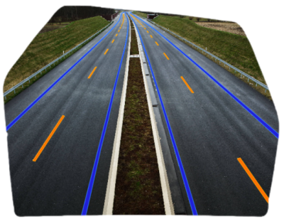
Road and Lane Annotation
Optimize LiDAR data for autonomous vehicles by annotating roads and lanes. Our services contribute to the development of advanced navigation systems, enhancing safety and efficiency.
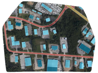
Building and Structure Annotation
Annotate buildings and structures in LiDAR data for applications in urban planning and construction. Our precise annotations contribute to accurate 3D modeling.
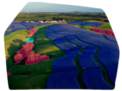
Vegetation Annotation
Accurately annotate vegetation in LiDAR data for environmental analysis and forestry applications. Our annotations contribute to detailed vegetation mapping.
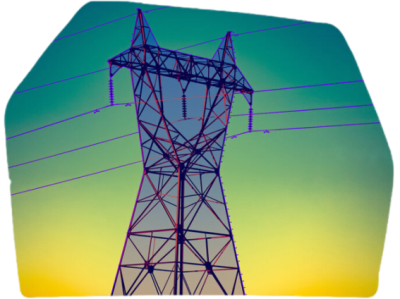
Power Line and Utility Annotation
Annotate power lines and utilities in LiDAR data for infrastructure management. Our annotations support accurate mapping and maintenance planning.
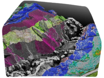
Terrain and Ground Annotation
Annotate terrain and ground features in LiDAR data for topographical analysis. Our services contribute to precise elevation mapping and land surveying.
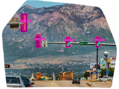
Traffic Sign and Signal Annotation
Annotate traffic signs and signals in LiDAR data for advanced driver assistance systems. Our annotations enhance road safety and navigation.
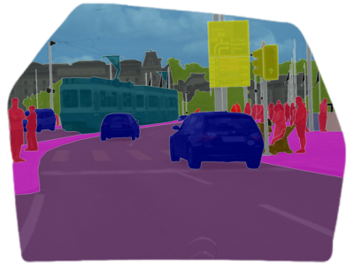
Cityscape Annotation
Comprehensive annotation of urban environments in LiDAR data for smart city applications. Our annotations contribute to detailed city modeling and analysis.
// Industries
We’ve got all industries covered

Drones

Urban Planning and Construction

Forestry

Aerospace and Defense

Geological and Environmental Surveying
Autonomous Vehicles

Precision Agriculture

Topographical Mapping and Surveying

Defense and Security

Smart City Development
// Ask Us Anything Anytime
Give us a call or drop a message by anytime, we endeavour to answer all enquiries within 24 hours on business days. We will be happy to answer your questions.


